This time in It’s a Conspiracy!, we’re going to see what else 13 Places Google Doesn’t Want You To See has to show us. Be sure to check out Episode 1 and Episode 2.
Image № 4: Szazhalombatta Oil Refinery, Hungary
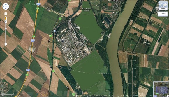
The conspiracy theory community thinks it very odd that some parts of an oil refinery in Hungary have been carefully edited so as to be nothing more than empty green blankness. Yes, it’s a little bit odd. Of course, one must wonder where this imagery came from in the first place. Was it provided by a government entity? Did the provider have an interest in keeping the area from view?
Google is generally very helpful in complying with the wishes of some property owners (or government entities) when asked that certain areas which might be considered sensitive (in a security or safety manner) be blurred or excised. It seems that someone probably asked Google to “hide” certain areas of this particular oil facility.
Many of these locations are well-known simply because of the fact that they are obscured. The Wikipedia page, Satellite map images with missing or unclear data does a great job of cataloging many of these locations. There’s nothing super-secret or conspiratorial in the fact that these areas are known to be pixelated or blurred.
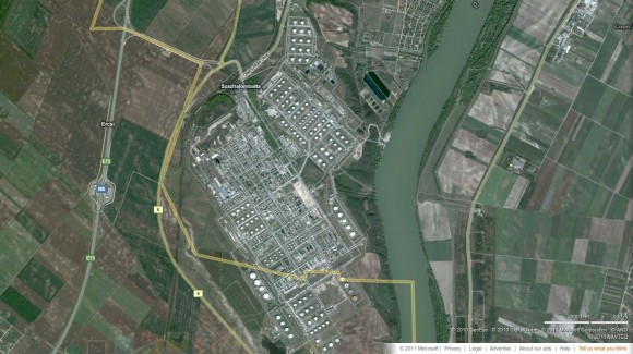
Of course, not all map providers have been approached to do this, or perhaps they simply didn’t wish to comply. All we have to do is check the location using a different map provider, in this case bing Maps.
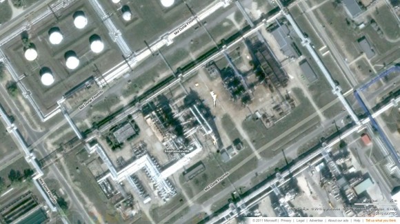
What was hidden? More of the same type of imagery that’s visible in other parts of the facility. There are pipelines and storage tanks and production facilities. Can you see any details? I suppose it’s fairly detailed if you know anything about the oil refining process. I don’t, so this image really doesn’t mean much to me.
Is this oil facility any less secure or in any danger because of the images available on the Internet? I doubt it. Was there any conspiracy involved in obscuring the images in Google Maps? I doubt that, too.
Image № 5: Huis Ten Bosch Palace
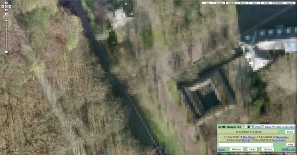
Huis Ten Bosch Palace, one of the three official residences of the Dutch Royal Family, is another location that has been purposefully obscured by Google. The government of the Netherlands apparently requested the pixelization due to safety or security concerns. This is probably related to past assassination attempts made against the Royal Family.
Google Maps, bing Maps, and even Acme Maps, represent the area of the palace in much lower resolution than the surrounding locations. This image from Acme shows the western end of the palace and adjoining property. Notice that the palace grounds are shown at about one meter resolution.
Is the imagery deliberately obscured? Yes. Is there a big conspiracy behind it? No. If you really want to know what the palace looks like, there are some very nice photographs online if you just search for them.


Recent Comments