In this episode of It’s a Conspiracy!, let’s look at more of the 13 Places Google Doesn’t Want You To See, as discussed in our previous episode.
Image № 2: Ramstein Air Base
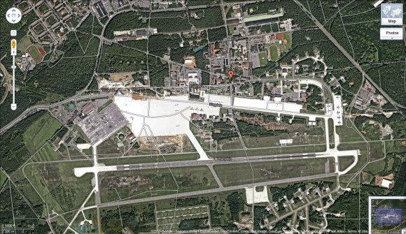
Ramstein Air Base is headquarters for the United States Air Forces in Europe (USAFE) and is also a North Atlantic Treaty Organization (NATO) installation. The conspiracy article suggested that part of the air base is “blanked out” by Google Maps. The image they show is one that encompasses a huge area, providing little in the way of detail. If you zoom in a little bit, though, Google provides a rather detailed view of the air base. It’s doubly laughable when you consider that the web site of Ramstein Air Base even provides a gallery of photographs of buildings on the base.
Were they just to lazy to zoom in, or were they looking for any excuse to cry, “Conspiracy!”?
Image № 3: Pacific Northwest, USA
The gallery at truTV has this to say:
Here’s one that gives us chills. What exactly are we not seeing here? The site is close to the Washington-Oregon border and is rumored to have something to do with FEMA, HAARP or, really, anything at all. Prison Planet readers inspected the site in person and could find no identifying details other than an ominous fence and unmarked entrance.
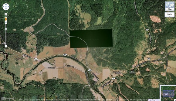
The area in question is near a town in the Nehalem River Valley called Mist, Oregon. Let’s see what Google Maps can show us in the area.
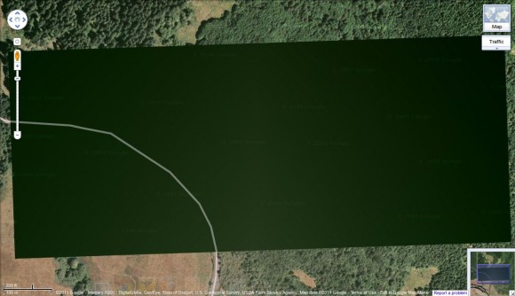
Ooh! There’s a big green rectangle! Let’s zoom in for a closer look.
Yes, that rectangle is huge. Google must be trying to hide something large and exciting there!
What’s Really Going On?
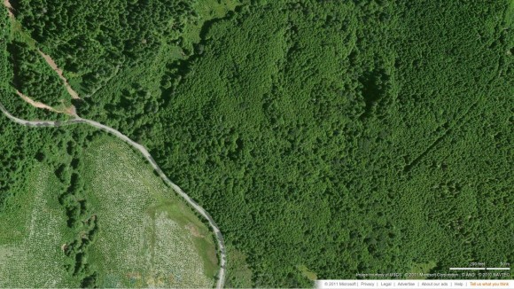
Much of the imagery in Google Maps comes from satellite images, but a great deal of the detailed shots now come from standard aerial photography. Google purchases this imagery from a variety of vendors. Other mapping services purchase their imagery from vendors which may or may not be the same. Let’s see what bing Maps has to show us in exactly the same location.
Do you see that?!?! They’re hiding trees from us! Not everything that you can’t immediately see or grasp is the result of a conspiracy, though the people at Prison Planet seem to think so. I could have saved them a trip, but then they wouldn’t have seen the “ominous fence and unmarked entrance.”
That fence is most likely the property of NW Natural where they operate Oregon’s only producing natural gas field. The natural gas facilities are clearly visible on the map services I’ve seen. They have nothing to hide, but it is private property. There is also an underground natural gas storage facility there. There’s nothing conspiratorial going on as far as I can see.


Recent Comments