In this installment of It’s a Conspiracy!, we’ll look at couple more locations shown in 13 Places Google Doesn’t Want You To See. Conspiratorial goodness abounds!
Image № 9: Reims – Champagne Air Base
Reims – Champagne Air Base is a modern French Air Force and NATO air base. It began operations in 1928. As a NATO air base, security is of great concern. It appears they have contacted the major mapping providers and requested that an area covering most of the base be obscured.
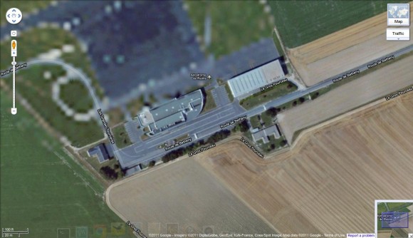
Compared to Ramstein Air Base (shown in It’s a Conspiracy! Episode 2), Reims is displayed in much lower resolution where it is obscured. Here it is in Google Maps:
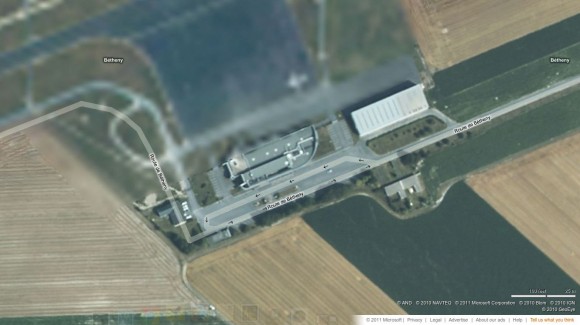
The imagery from bing Maps is also reduced in resolution for the same area:
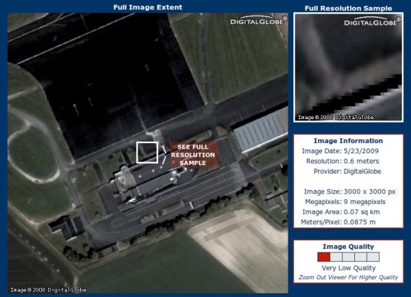
Perhaps the air base should talk to the guys at Terraserver (though 60cm resolution isn’t all that high).
I’m sure that the authorities at the air base wish to preserve a measure of security by having the images reduced in resolution on the web. The saddest part is that anyone with nefarious plans centering on the base surely has this opinion about the situation:
They simply wouldn’t care. The location of the base is well known. The arrangement of the buildings is very easy to discern. Anyone making foolish plans to infiltrate a NATO base while using Google Maps as the basis of those plans has their head up their ass in the first place. There certainly doesn’t appear to be any conspiracy at work to censor the available view, though.
Image № 10: Indian Point Energy Center
This is a three-unit nuclear power plant station along the Hudson River, just south of Peekskill, New York. Unit 1 was shut down in 1974. The New York DEC believes that Indian Point is vulnerable to attack because of unsecured radioactive waste.
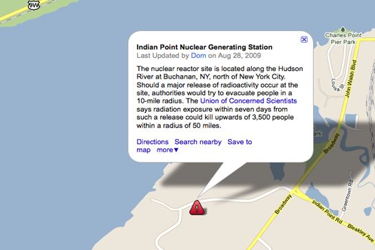
Someone seems to think that the power plant is (or was) not visible in Google Maps. The image shown at 13 Places Google Doesn’t Want You To See: Image 10 looks like this:
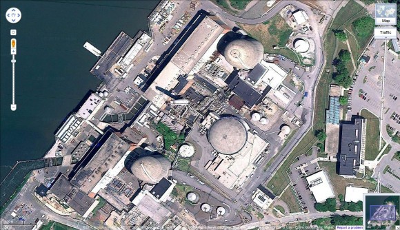
If you have Google Maps set to “Map” instead of “Satellite,” you won’t get any satellite imagery; you’ll get a map, just like in the photo. Here’s what I show in Google Maps for the facility when it’s set to “Satellite”:
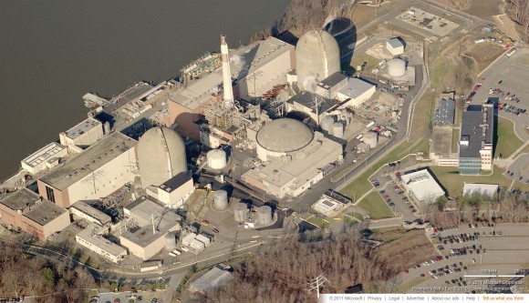
That doesn’t look terribly obscured to me. If that’s not good enough detail for you, you can always check out the birds-eye view from bing Maps.
Is some of the imagery from online mapping services obscured on purpose? Yes, it is. Does it matter? I don’t think so. Anyone who wants better imagery can always manage to get it somehow. Some people are starting to realize that, and they aren’t bothering to ask for special treatment any more. If the view of Indian Point was censored at one time, it surely wasn’t the result of a big conspiracy, and it doesn’t appear to be censored now.

2 comments
Hmmm. Good pics in this one, including the Lol, and now I know just what locations to strike for the opening phase of my diabolical plan… BwaHaHaHaHaHa!
I love this series of posts. Sounds like the premise for a new SciFi thriller: Humble blogger exposes hidden places in Google maps. Soon after he receives information from a mysterious stranger revealing the secrets and horrible truth hidden behind these blanked-out images. What will he do with this information? Will he expose the truth? Who was that mysterious stranger? His life and blog are in peril as he tries to evade the “bad guys” trying to stop him from revealing their darkest secrets.